
 Under the direction of archaeologists and geologists from the University of Chile, an international team of researchers has found evidence of the largest earthquake known in the history of humanity. This is a 'megaearthquake' of magnitude 9.5, followed by a gigantic tsunami more than 8,000 km long that caused human populations to abandon the coasts for more than a thousand years.
The earthquake took place about 3,800 years ago in northern Chile, when the breakup of a tectonic plate lifted the coast of that region. The subsequent tsunami was so powerful that it created waves of more than 20 meters that traveled as far as New Zealand, where they carried rocks the size of a car several hundred meters inland. The study has just been published in 'Science Advances'.
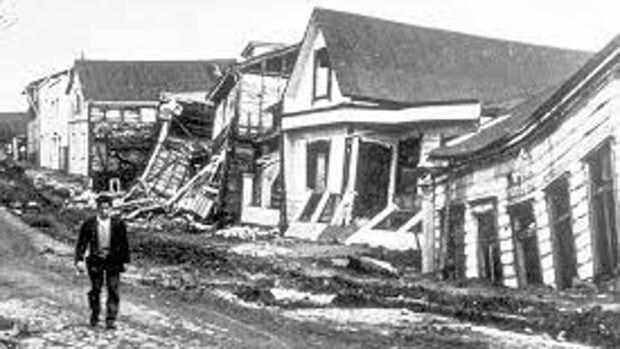
Until now, the largest earthquake recorded worldwide was the Valdivia earthquake in southern Chile, which in 1960 killed 6,000 people and also sent tsunamis across the Pacific Ocean. The plate rupture that caused that earthquake was enormous, about 800 km long, but the newly discovered megaquake was even larger, triggered by a rupture more than 1,000 km long.
"It was believed that there could not be an event of that magnitude in northern Chile - explains James Goff, from the University of Southampton, in England, and co-author of the study - simply because a long enough plate rupture could not occur."
Megaearthquakes
Megaearthquakes occur when a tectonic plate (the 'pieces' into which the Earth's crust is divided) collides with another neighboring plate or slides beneath it, in a process called subduction. There comes a time when the two competing plates lock due to friction, although the forces that caused them to collide continue to increase. Sometimes, the stress that builds up at the point of contact is so great that it ruptures, creating a crack that releases an enormous amount of energy in the form of devastating seismic waves.
Evidence of the gigantic earthquake was discovered by finding coastal elements, such as boulders, shells, life and marine rocks, displaced inland, in the Chilean Atacama Desert. In Goff's words, "We found evidence of marine sediments and many animals that had been living peacefully in the sea before being washed inland. "And we found all of this very high and very far from the coast, so it couldn't have been a storm that brought them there."
To find out the true origin of this unusual displacement, the researchers turned to radiocarbon dating, a method that involves measuring the amounts of carbon 14 (a radioactive isotope of carbon) within a material. Carbon 14 is found everywhere on Earth, and is absorbed by the materials that form deposits. Since the half-life of this element is well known (5,730 years), to find out the age of a material it is enough to check the amount of carbon that has not yet decomposed. The technique is extremely useful for accurately calculating ages less than 50,000 years.
In this way, and after dating 17 different deposits found in seven places along 600 km of the northern coast of Chile, the researchers discovered that all of these 'out of place' materials had been washed away from the coast about 3,800 years ago. years. In addition, the team also found ancient stone structures made by man before the earthquake. Walls that had leaned back, pushed by the strong currents of water from the tsunami.
A thousand years without returning to the coast
«The local population – explains Goff – was left with nothing. Our archaeological work found that there was great social upheaval as communities moved inland beyond the reach of the tsunamis. It was more than 1,000 years before people returned to living on the coast, which is an astonishing length of time given that they depended on the sea for food. It is likely that traditions passed down from generation to generation reinforced this resilient behavior, although we will never know for sure. This is the oldest example we have found in the southern hemisphere where an earthquake and tsunami had such a catastrophic impact on people's lives. “There is a lot to learn from this.”
Displaced rocks in New Zealand
Before this study began, Professor Goff had been investigating a site in New Zealand, on Chatham Island, which included a large number of rocks, some the size of cars, that had been dumped hundreds of meters inland. These boulders date back to approximately the same period as the earthquake in northern Chile.
By pure coincidence, just a week later Goff was asked to join Professor Salazar's team to study the deposits in northern Chile that have now provided the answer.
«In New Zealand – recalls the researcher – we already said that those boulders could only have been moved by a tsunami coming from northern Chile, and that it would have to be something like a magnitude 9.5 earthquake that generated it. And now we have found it.
The researchers believe their findings provide very important context for understanding the dangers of earthquakes and tsunamis in the Pacific region, and how severe their effects may be the next time a superquake occurs.
"While this had a great impact on the people of Chile," Goff concludes, "the South Pacific islands were uninhabited when they were hit by the tsunami 3,800 years ago. "But they are all heavily populated now, and many are popular tourist destinations, so when such an event occurs next time, the consequences could be catastrophic unless we learn from these findings."